

BRIDGING MARINE DATA GAPS
Barbados
Be part of a rare opportunity to help create the scientific foundation for Barbados’s Marine Spatial Plan (MSP) by supporting critical ocean research in an understudied marine region. Your vessel and crew can play a key role in gathering essential data, directly contributing to the future protection and sustainable management of Barbados’s marine environment. In collaboration with the Barbados Government and the Blue Marine Foundation, this expedition invites yachts to leave a meaningful legacy for the Caribbean.
Expedition Overview:
This research expedition within Barbados’s Exclusive Economic Zone (EEZ), in partnership with the Barbados Government and Blue Marine Foundation, will gather essential biodiversity and bathymetric data to inform the Barbados Marine Spatial Plan (BMSP). This plan will be pivotal in the safeguarding and long-term management of Barbados’s marine environment.
Objectives:
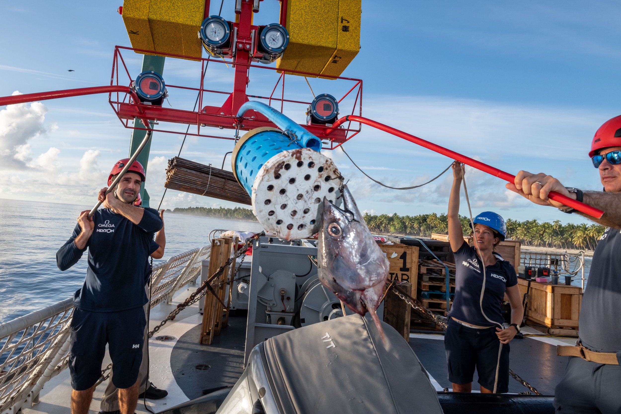
The project aims to collect data on offshore bathymetry, marine mammals, pelagic species, and deepwater ecosystems, equipping Barbados researchers with valuable insights to guide ongoing policy development. Conducted with the support of the Coastal Zone Management Unit (CZMU), a Barbados government agency, this expedition aligns with Barbados’s commitment to protect 30% of its EEZ by 2030.
LOGISTICS
8-10 Berth
10 days - 2 weeks
Ideal survey time between March and August 2025
PROJECT PARTNERS
Barbados Government (Department: CZMU)
Blue Marine Foundation
TBC local academic institute/University
PROJECT ACTIVITIES
Athymetric Surveys
Visual and acoustic biodiversity monitoring (cetaceans)
BRUV surveys (pelagic species, elasmobranchs)
eDNA sample collection for broader biodiversity monitoring
Deep sea ecosystem surveying/monitoring (ROV/ deepwater camera)